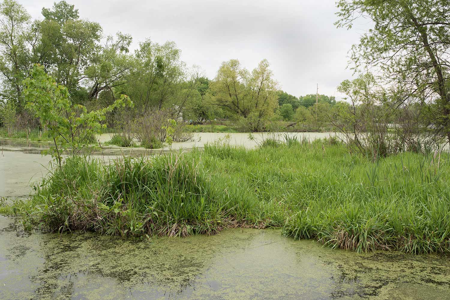
Arcing across the bottomlands are a number of remnant lakes from former Mississippi river courses. Early maps of the region show extensive surface water bodies connected by perennial sloughs and swampy creeks—cascading in crescents from Wood River down to East St. Louis. One of the few remnants still legible on the ground is Spring Lake—a sliver of boggy wetlands arcing from Monk’s Mound on the North down to Washington Park to the Southwest. In many ways, this meander cradled the high ground that was to become the center of Mississippian settlement of Cahokia—with multiple mounds found near its banks. Where this perennial wetland formerly had an outlet in Schoenberger Creek (a smaller tributary to Cahokia Creek), the lake was largely drained in the 20th century through the construction of the Harding Ditch. Nonetheless, the still-saturated former bed of the lake remains a large undeveloped swath through the bottoms and may serve as a material reminder of the wetland habitats that once defined the region.