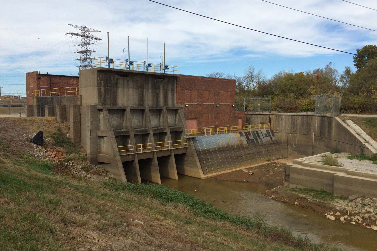

To understand the flood protection infrastructures of the American Bottom, we must recognize that flooding can occur from at least two main direction-the river-side of the levee or from within the protected district itself. Which is to say: the US Army Corps of Engineers levee's do a good job of both keeping the river-water out, but also at keeping any local drainage or rainfall in. As such, periodically along the length of the levees, and often at the outlet of former creeks and canals, you will find structures intended to allow water to pass through during low water, and to work as pumping stations during high water. The Cahokia Canal Pump Station-ocated NW of downtown East St. Louis on the northern part of what used to be Bloody Island-is the largest such structure in the American Bottom, and drains the bulk of the East Side Levee and Sanitation District. The Canal itself arcs down from near Edwardsville, curls around the bottom of Horseshoe Lake, and cuts down through the former National City site and out to the Mississippi River. The canal collects drainage from numerous other ditches throughout the bottomlands, and serves to draw-down ground water in its vicinity. Without drainage canals, the entire floodplane would range in saturation throughout the year, following the changes in river, groundwater, and surface-water levels. Which is to say: it would be a wetland floodplain. What every engineered solution labors to deny. Kitty-corner to the brick pumping station is the former East Side Rabies eradication building.