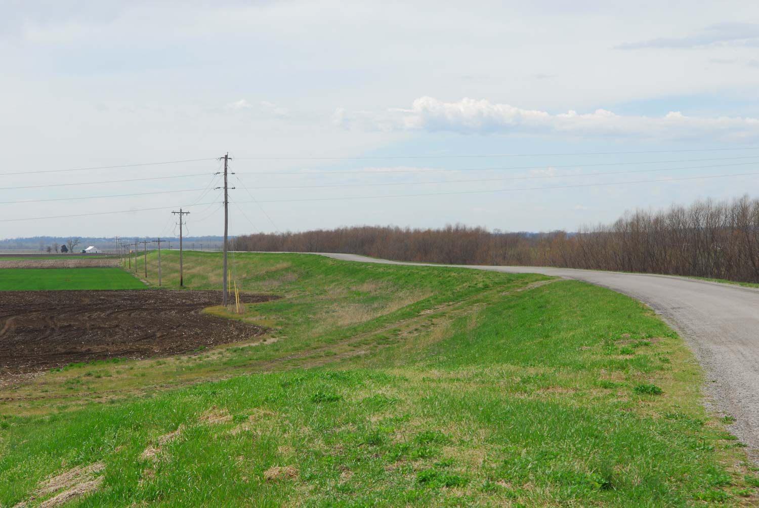

Throughout the floodplain of the American Bottom are found the former channels of creeks and small rivers that, prior to the levee and drainage projects of the 20th century, wended their way from the uplands, through the bluffs, and across the flat bottomlands toward the Mississippi River. Chief among these smaller tributaries was Wood River, which gave its name to the township, town, and refinery of the northern portion of the American Bottom. Known by its French name, Riviere du Bois, this river also gave its name to the 1803 over-winter camp of Lewis and Clark at the start of their Western expedition. // Through shifting meanders and over-topped banks, the river marked this northern precinct of the bottom as a low, wooded territory. And thought the drainage and levee projects of 1907 straightened the river’s course to a direct channel from bluff to river, many remnant meanders and lowland forests remain. A large triangle of land on the banks of the Mississippi—reaching from Alton in the west, to Wood River in the North, and nearly to Hartford in the South—retains it’s lowland forest qualities; an index to the shifting and unstable geography of both the Mississippi and Wood Rivers. And though many large industries have located in this zone, evidence of its riverside nature are oftentimes barely concealed below the surface of the soil.