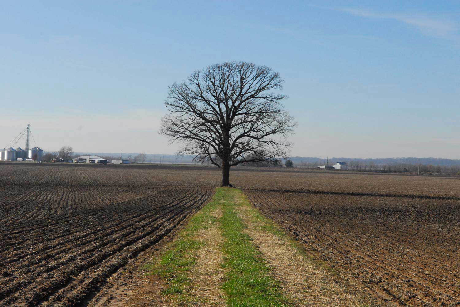

Part of a complex of wetlands and sloughs that at one time warranted naming: Porter, Waddle, Saunders, and Howe Lakes, and Little Carr Creek and Long Slash are all reminders of the saturated nature of the floodplain. While many of these lakes are now little more than saturated depressions in agricultural fields, the managed forests in the region map quite exactly the former saturated lowlands. More tolerant to the perennial inundations than row-crops, certain tree species are commonly planted in these low-lying zones to capitalize on the moisture and to demarcate arable cropland from less than productive mud. Throughout the American Bottom, when one comes upon forests you can be relatively sure that the boundaries of the trees map the perimeter of a once annual lake.