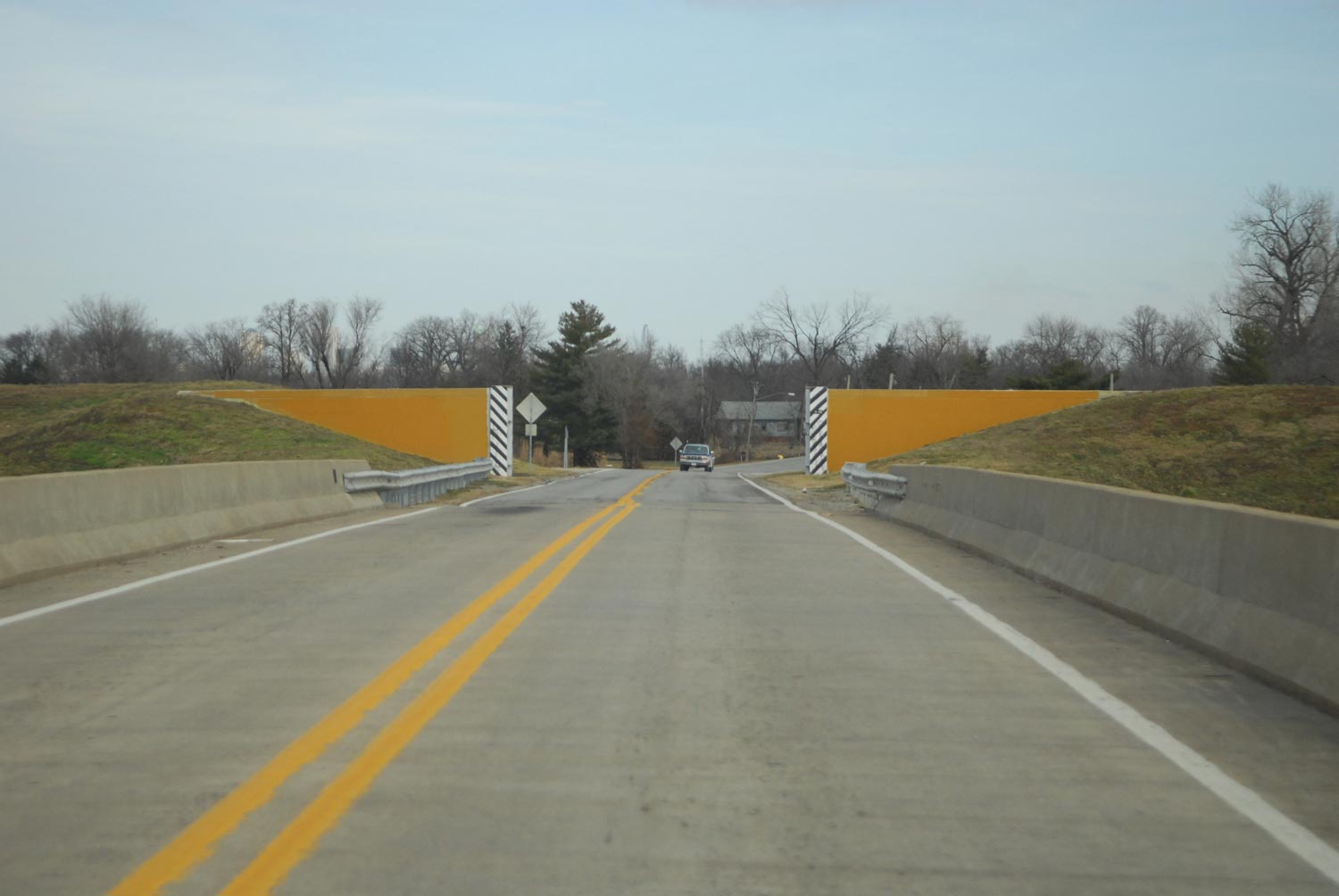

Prior to channelization, Prairie du Pont Creek was a sluggish chain of wetlands that slipped away from the bluffs at the neck point where the soft limestone of the northern half of the American Bottom give way to the harder stone that defines the bluffs to the south. The creek drained what was known as the ‘lake region’ of the American Bottom—that region of arcing meander scars and channel cutoffs that marked the floodplain South and East of present day East St. Louis. The Creek picked up the tail end of the Grand Marais and Goose Lake, then wend its way West across the floodplain at a slope of less than 0.5 feet per mile until it picked up on the Mississippi river gradient where it turned sharply south and met the River south of present day East Carondelet. // The Creek received its name by the eponymous bridge that was built in the 17th century by villagers of Cahokia to cross its milky waters in order to reach the prairies that lay beyond its low, soggy banks. The Creek with the Bridge to reach the Prairie also served as a crucial crossing on the 17th and 18th century Chemin du Roi—the Royal Road—that linked the French villages of Kaskaskia and Cahokia, and it was at this crossing that the community of Prairie du Pont grew. // Today, like so many of the autochthonous watercourses of the American Bottom, the Prairie du Pont Creek has been completely channelized by the levee and drainage systems of the early 20th century. It is confined to the wide, engineered lines defined by the levees of the Metro East Sanitation District and the Prairie du Pont Levee District—a wide, inter-levee zone experience when crossing on either Water St. or Rte. 3. But its meanders, low-points, and even its former channel, are still visible as forested wetlands and depressions adjacent to the levees, and across the floodplain south through East Carondelet.