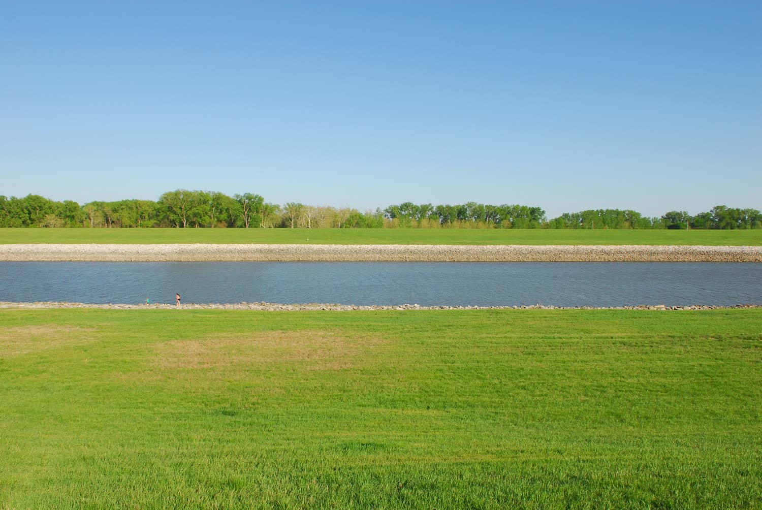

The hydraulic engineering of the American Bottom follows a recognizable pattern, whereby certain naturally occurring topographic features are subject to the abstracting and hegemonic logic of the engineer’s rule. Naturally occurring low-points are connected and straightened; slews and meanders are excavated and drained; and wetland habitats are tiled and drained. In the process, the American Bottom has become one of the most heavily engineered landscapes in the nation. // Such was the engineering logic that produced the Chain of Rocks Canal. Charting a straight course that roughly follows the former lines of the Choteau and Gabaret Sloughs, construction of the canal began in 1947, with the canal and associated locks put into service in February 1953. The Canal permitted river traffic to bypass the shallows around the Chain of Rocks Reach—the geological feature that it both negates and by which it gets its name. As a geological feature, the Chain of Rocks is formed by an anticline—a folding upward of the geological layers—whose apex reaches the surface and would often cause shipping blockages during low water. The 8.4 mile canal was dug in the late 1940s by the Army Corps of Engineers to bypass this reach on the main channel of the River. Up until then, this reach was the final stretch of the 2,000 mile navigable portion of the Mississippi River that was not universally passable by the Army Corp’s 9-foot channel mandate. // A great place to witness the engineered lines of the canal is the Canal overlook on Chouteau’s island—just south of I-270 and Chain of Rocks Road. Here, the abstraction of the Corps aesthetic could not be more clear—as parallel bands of water, rip-rap, and perfectly mown grass march their way up the slopes.